Construction Photography

Aerial imaging of construction sites is a time-saving, cost-effective tool that enables contractors and land developers to effectively manage all stages of the construction process, from planning to completion, while staying on schedule, staying within budget, and providing accurate information to stakeholders. Our construction aerial photography and site progression will capture every viewpoint of your project, whether it's an industrial refinery, commercial real estate complex, or residential housing construction.

High-Resolution Photos & Videos


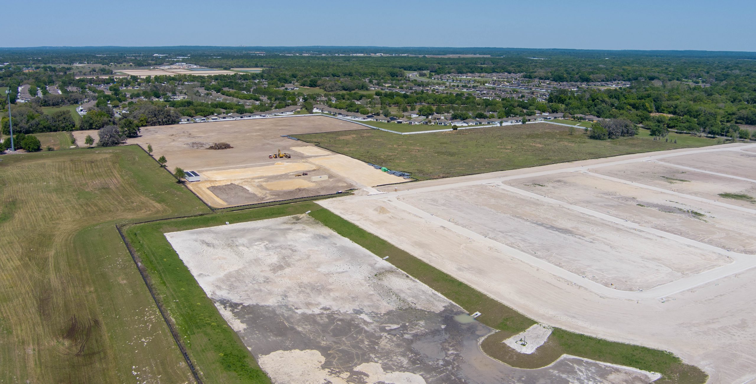
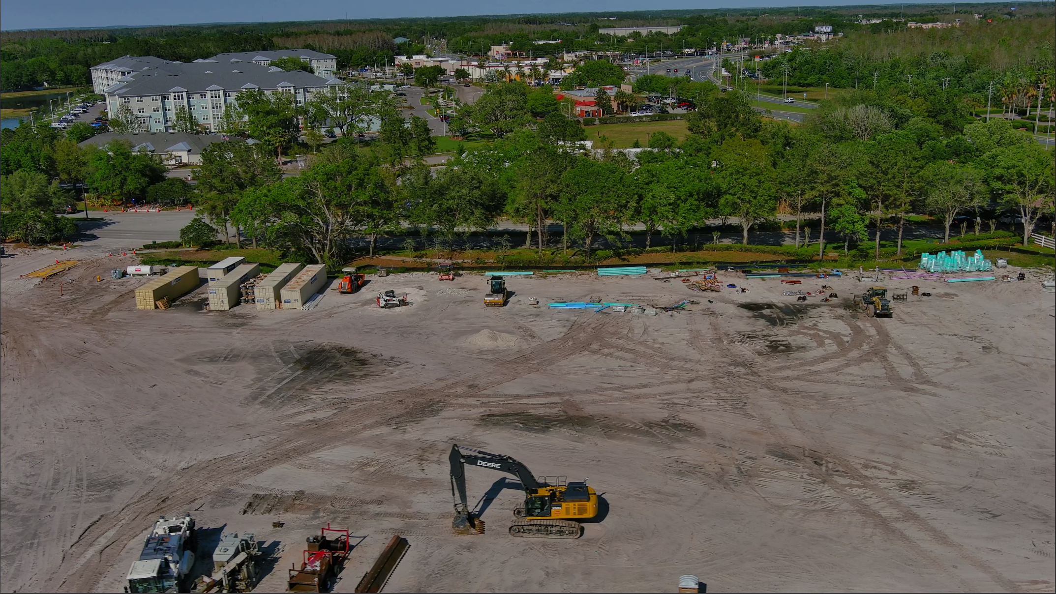
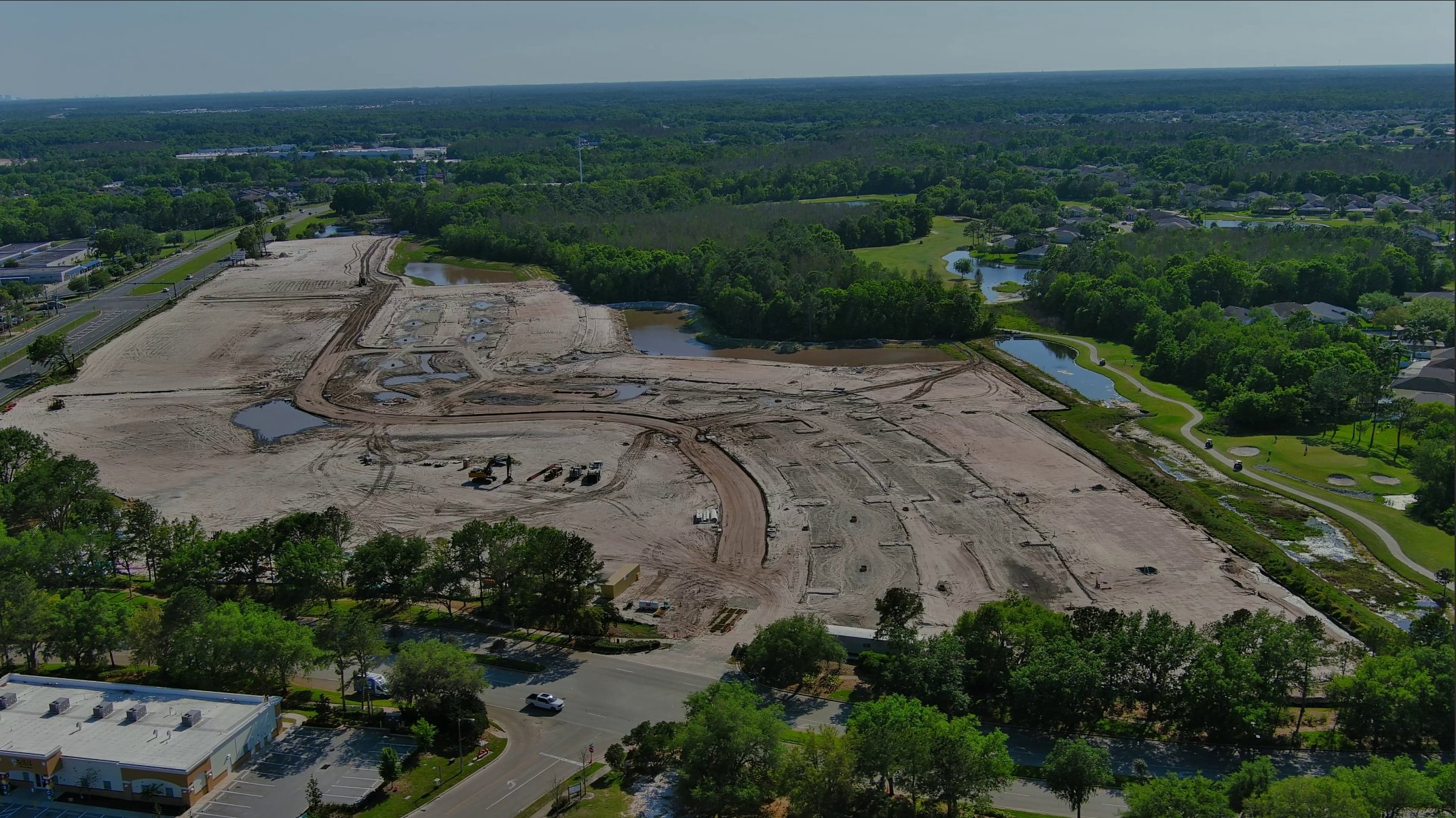
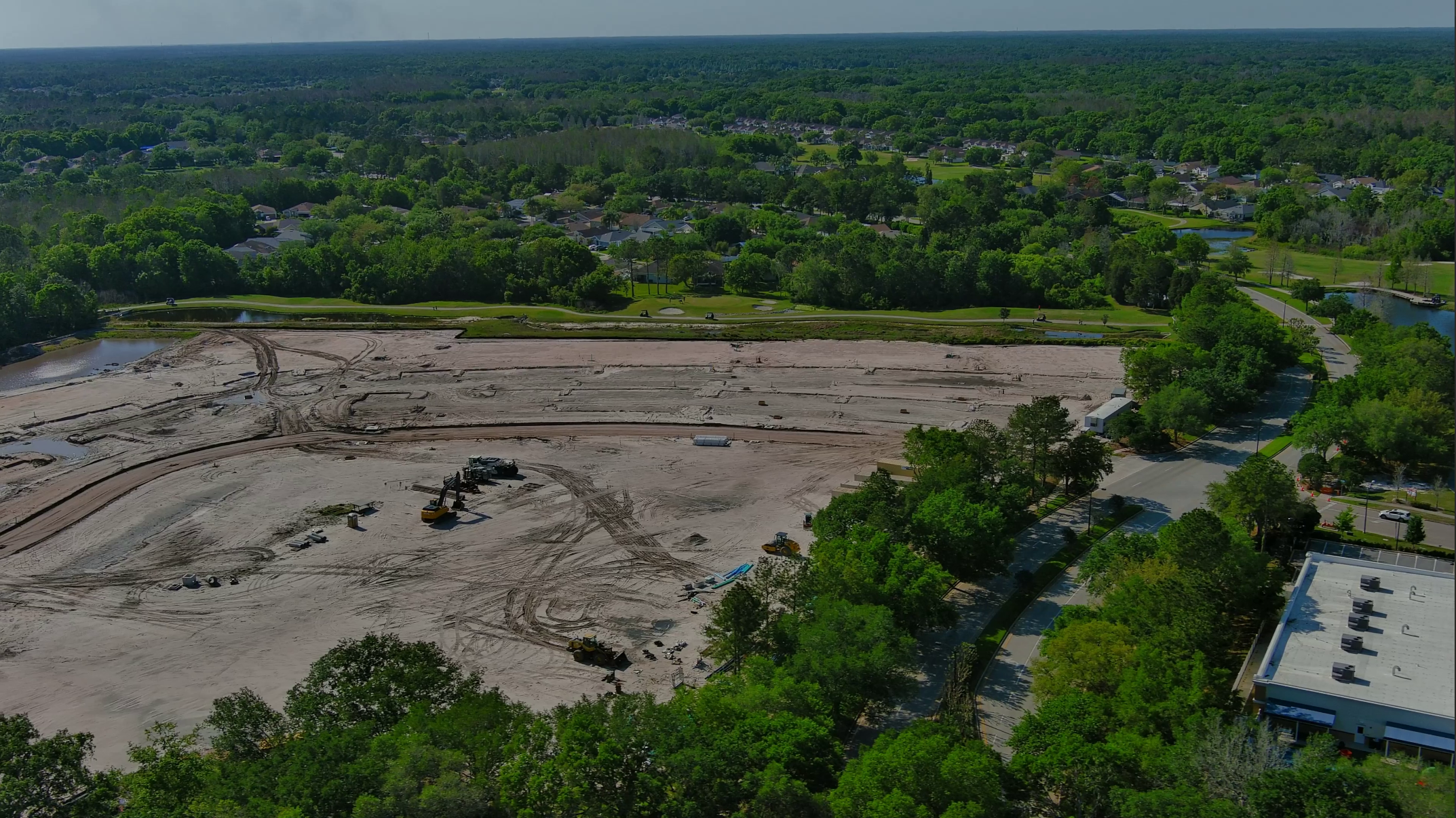
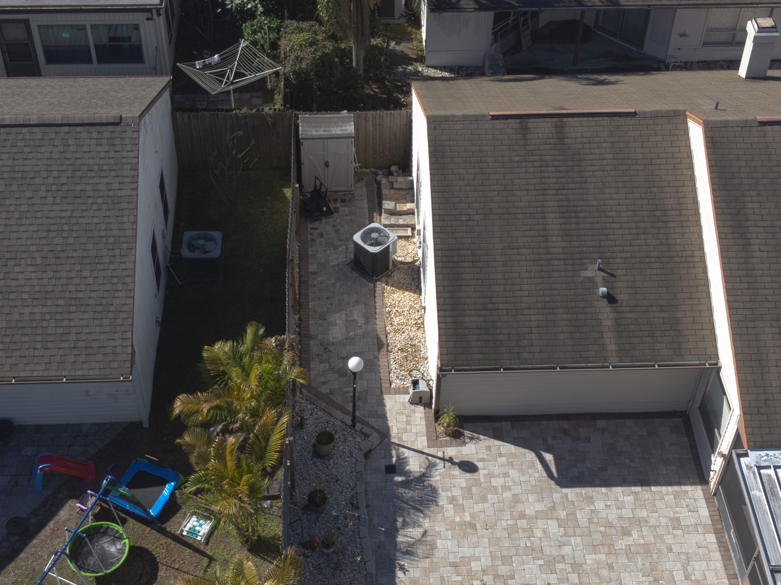
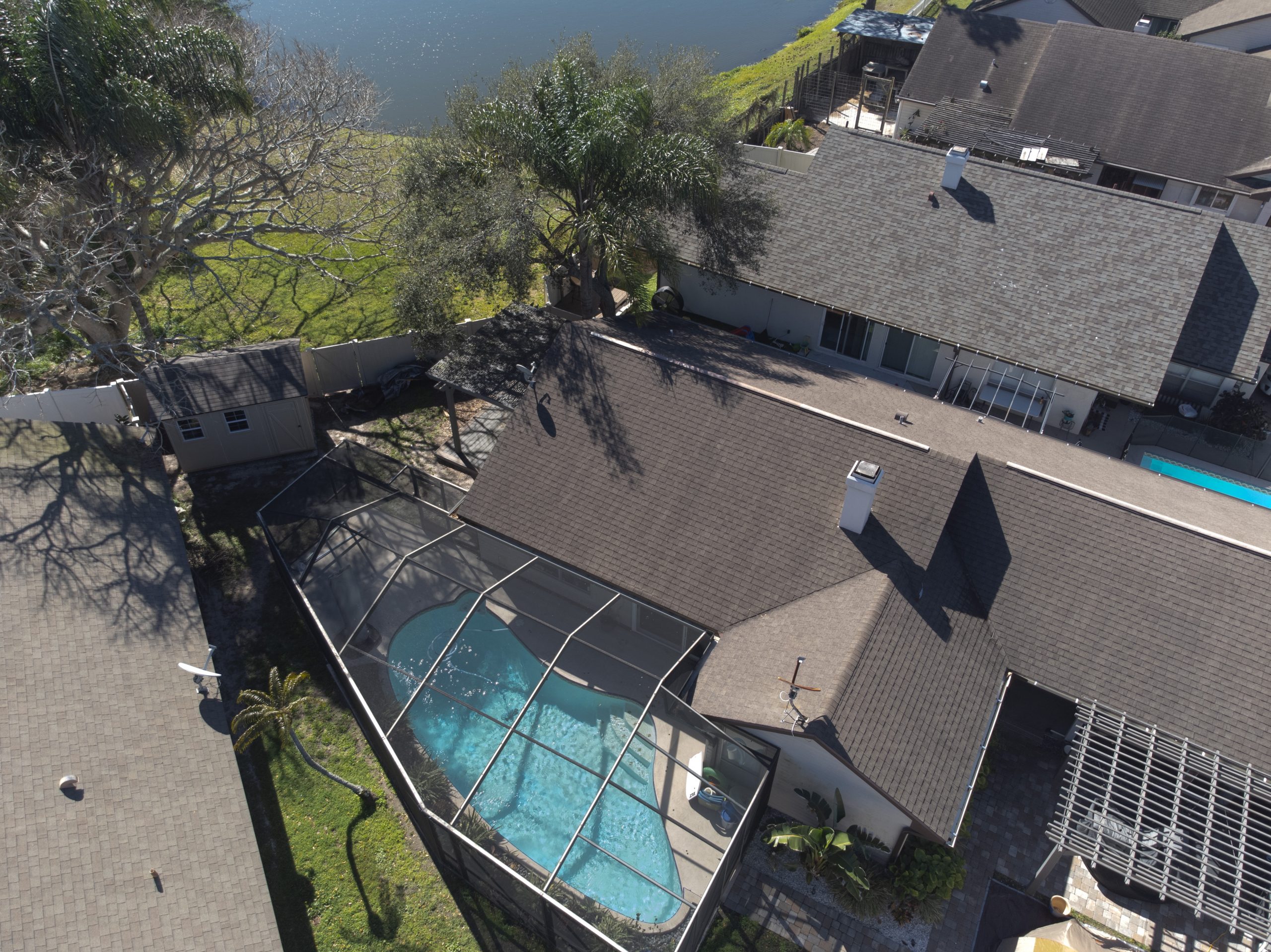
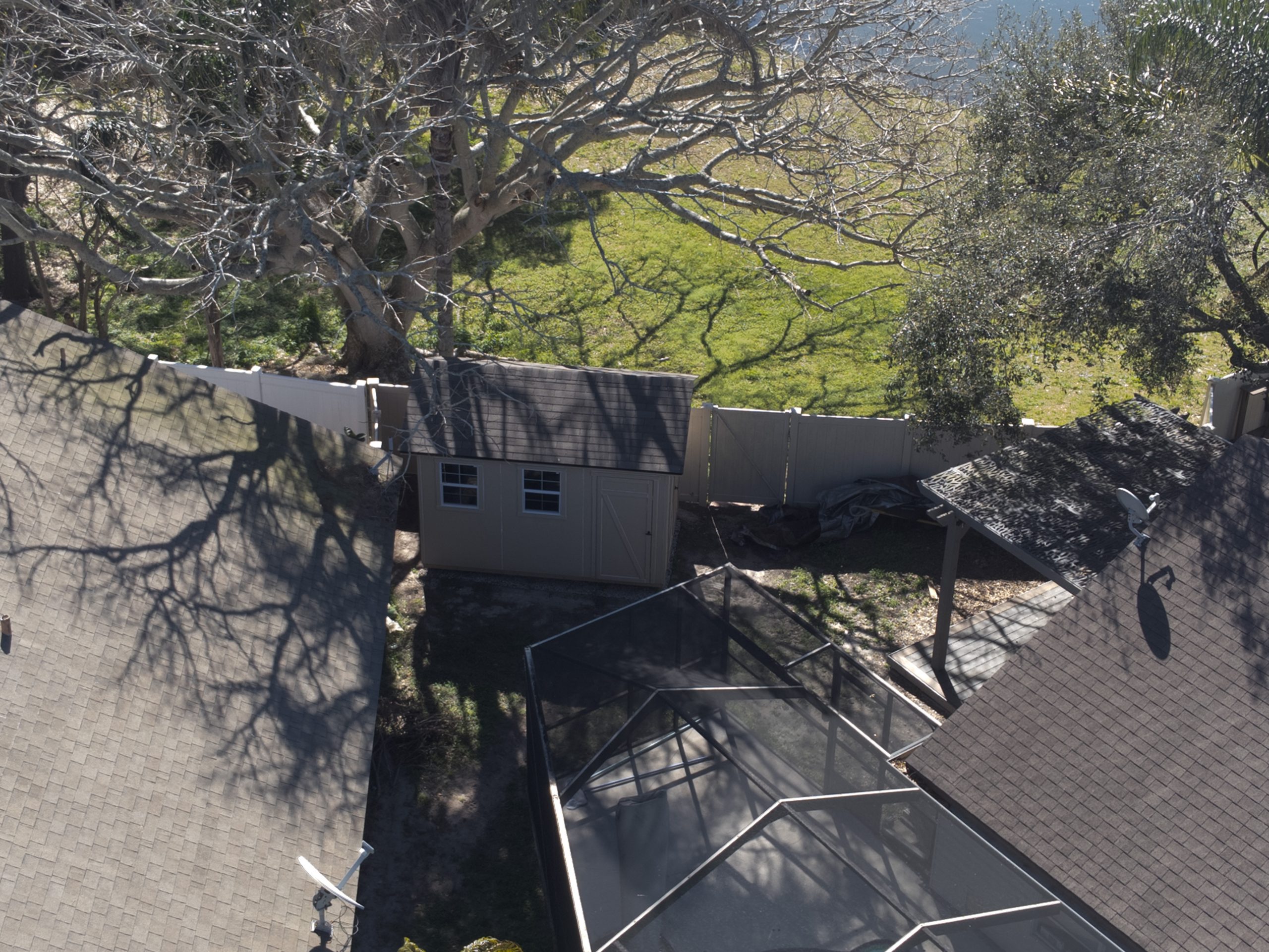
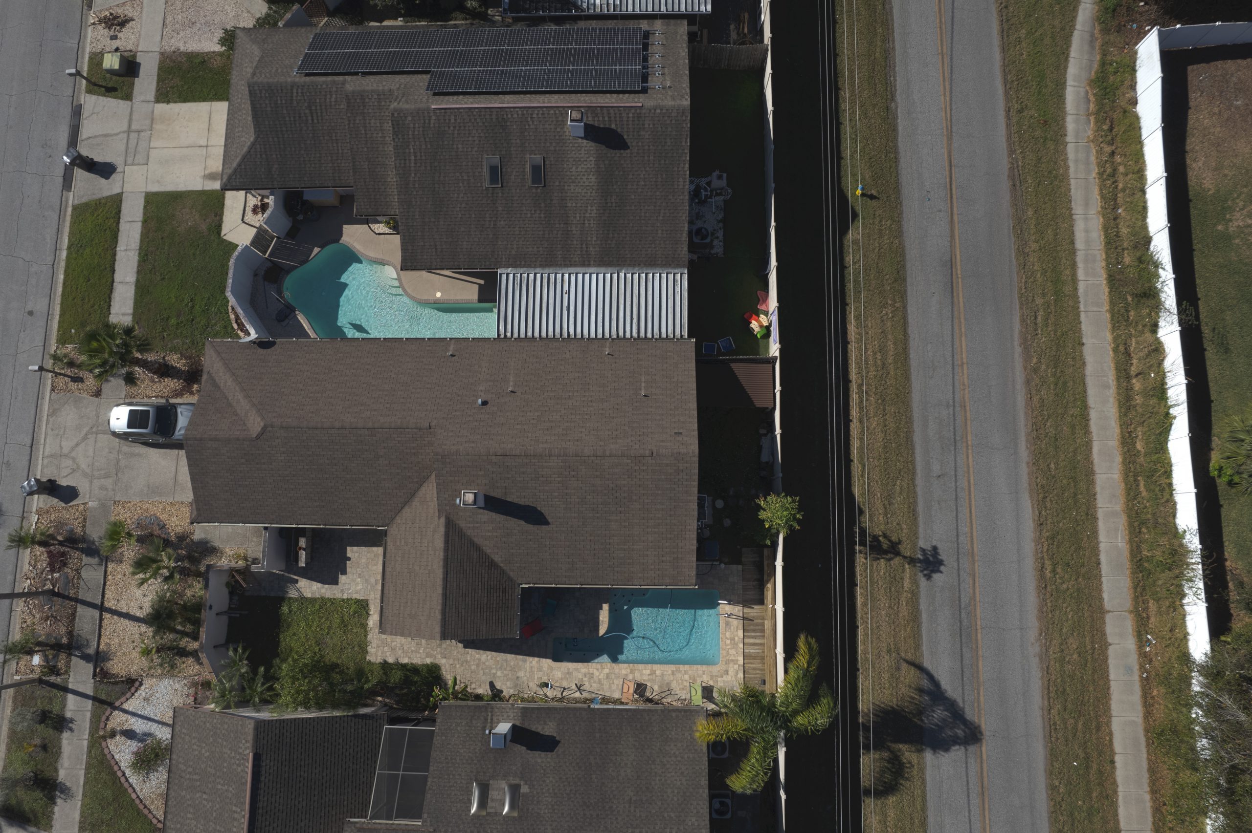
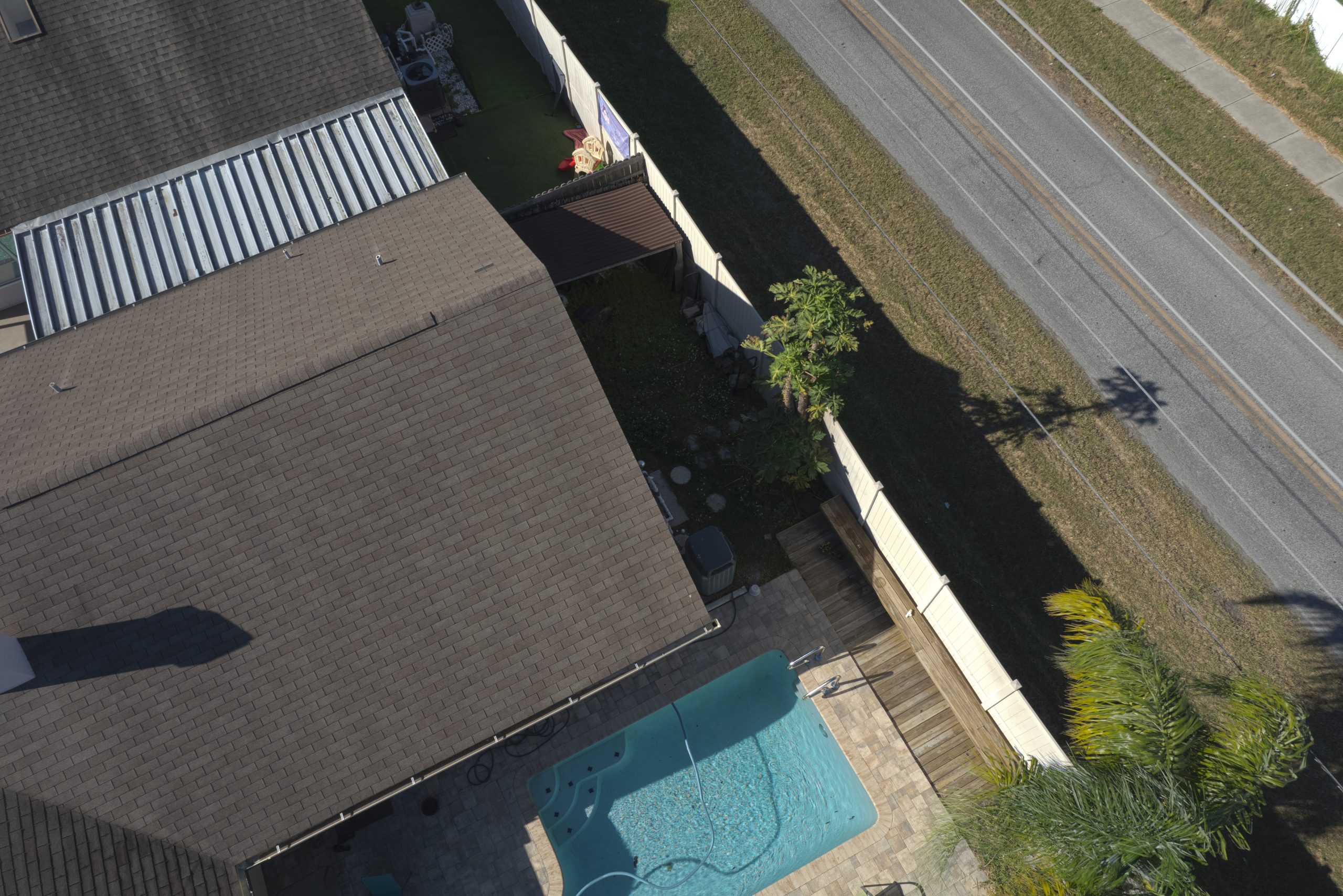
With our high-resolution aerial imaging technology, we can help you monitor the progression of your project


Construction Photography has never been this easy!

Quick Turn Around Times


With our easy scheduling and fast delivery times, we can help you complete your projects more efficiently. Download them directly from our website

Construction Bid Packages


While most bid packages contain preliminary drawings or FEED sketches, with our high-resolution imagery and data, you'll be able to present a precise, correct bid package with fewer exclusions relating to previously unknown variables.

Construction Site Progression

  • Photographs from 8 different directions, due North, due South, etc, and one top-down from the center point of the site. We make sure all are properly exposed on camera and in post-production
  • 1-2 minute edited video showcasing the property with smooth moving angles
  • Weekly, Bi-Weekly, Monthly Options
  • High Mega-Pixel No Loss of Quality Digital Delivery within 5 days

Wawa Foundation
County Line Rd
Ayers Rd Extension
County Line Rd

Aerial Photo & Video Monitoring

[panorama id=8794]

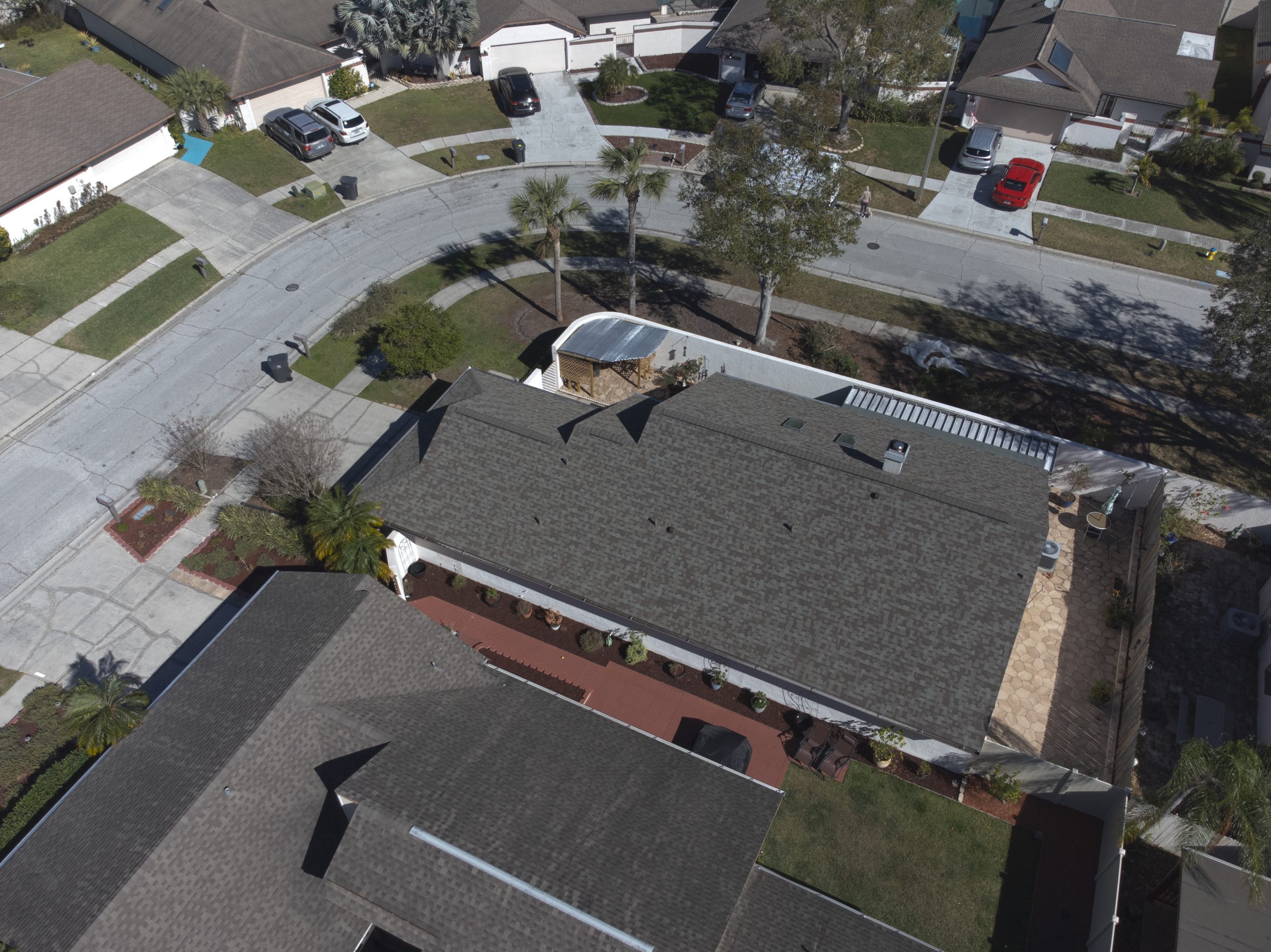
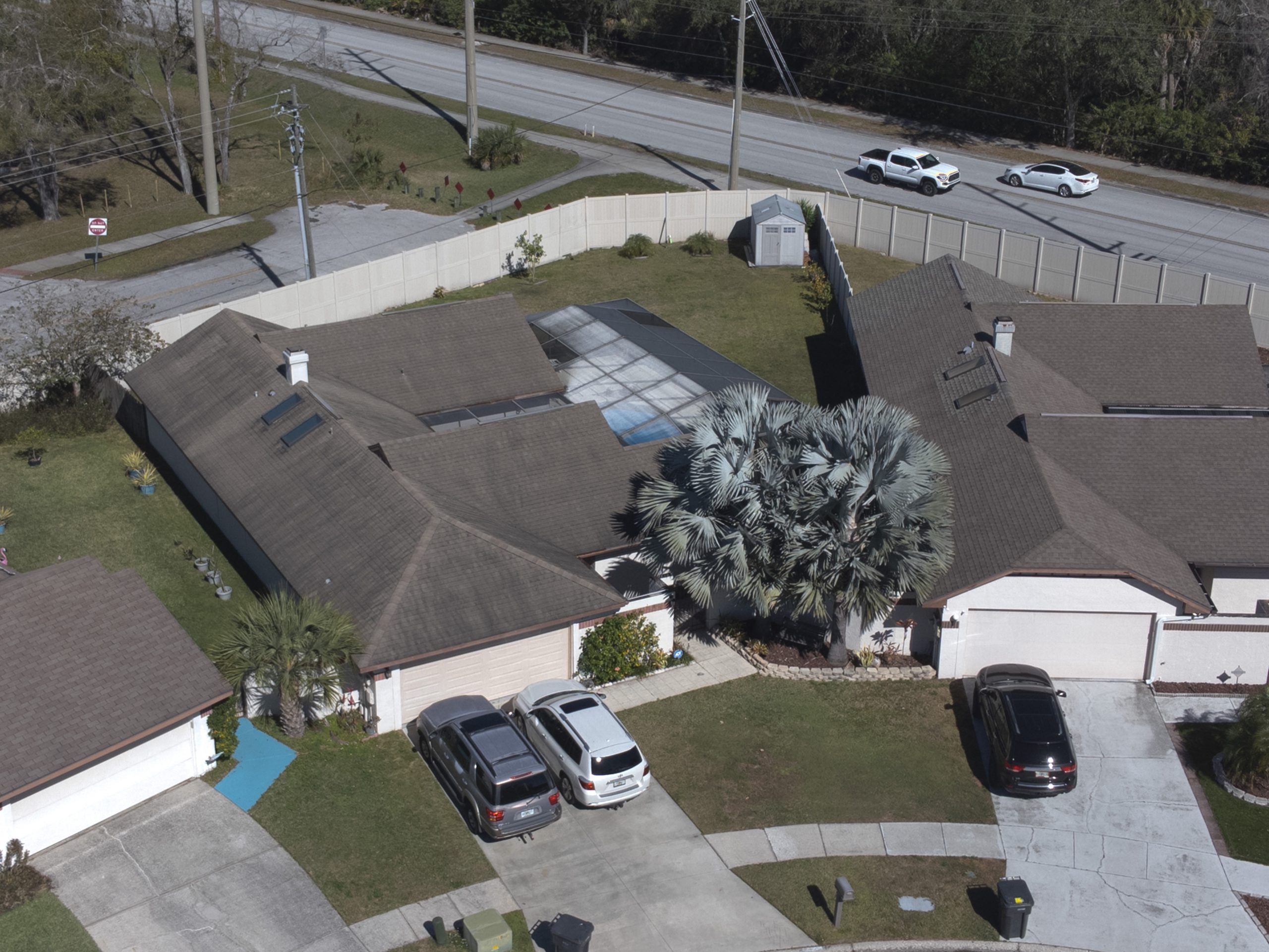
Gives you the full perspective of the construction property from the center of the property or any preferred angle in full high-resolution

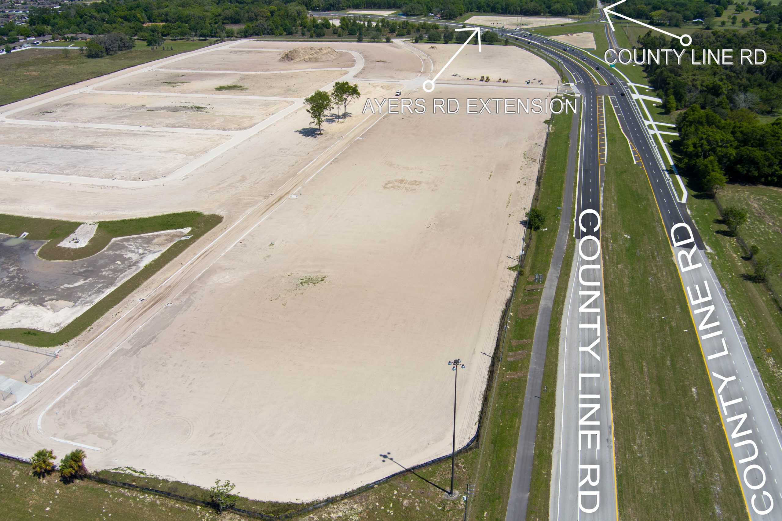
Edited and labeled to distinguish important locations in the photo

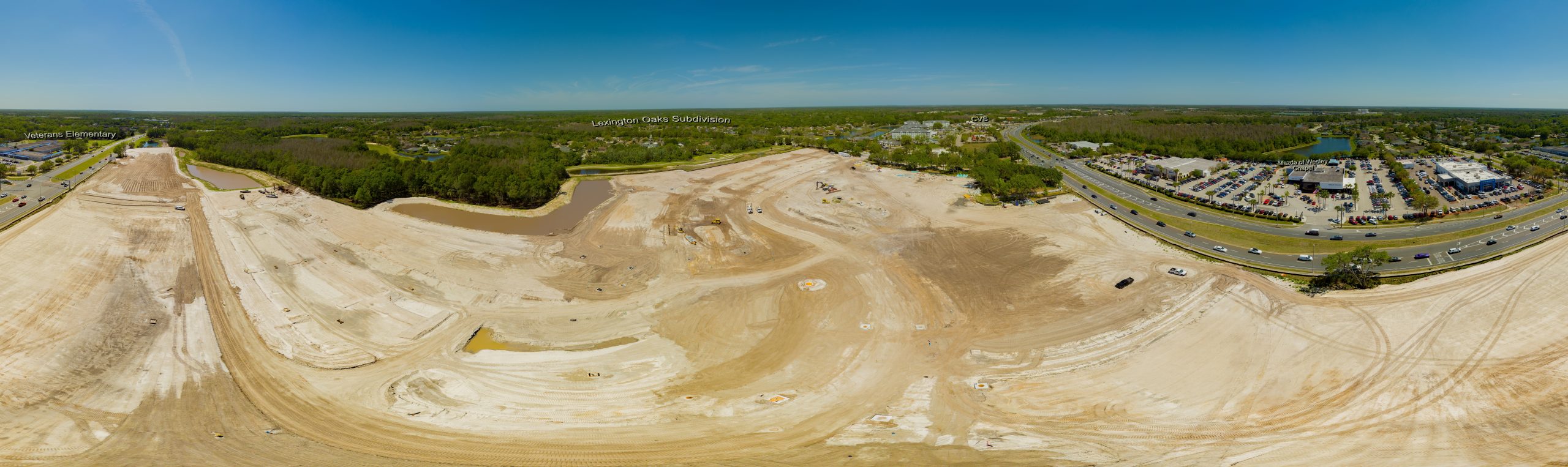
360° View or panoramic view from any angle of your choice

Our panoramic and 360° photos are fully edited before being stitched together to give you the optimum clarity and color

No need to switch from one photo to the other to get full perspective of the property

Combined with our Construction Mapping service, this gives you the full perspective before making any bids on the construction property

[panorama id=9536]

3D Mapping & Orthomosaic Maps

[iframe src="https://p3d.in/e/TVIJ0" loading="lazy" allowfullscreen="true" width="640" height="480"][iframe]

CONSTRUCTION GALLERY

Progress Updates

Weekly, Bi-Weekly, & Monthly visits to the job site to record photos and videos

Orthomosaic Maps

Maps created from hundreds of photos, stitched together to form a 3D view of the property

3D Mapping & Modeling

Measure distances & heights, cut-fill analysis, stockpile volumes, and more, all from a 3D perspective

Bulk Discounts

We offer bulk discounts for multi-property orders or monthly contracts

commercial real estate property aerial drone photo of property-hdr

Progress Updates

Weekly, Bi-Weekly, & Monthly visits to the job site to record photos and videos

Orthomosaic Maps

Maps created from hundreds of photos, stitched together to form a 3D view of the property

3D Mapping & Modeling

Measure distances & heights, cut-fill analysis, stockpile volumes, and more, all from a 3D perspective

Bulk Discounts

We offer bulk discounts for multi-property orders or monthly contracts

TIME LAPSE CONSTRUCTION PRICING

6 Months Contract 1 Year Contract

Monthly Visits

$250$225
  • 1 Visit Per Month
  • 8 Edited Photos
  • 1 Edited Top Down Photo
Most Popular

Bi-Weekly Visits

$475$450
  • 2 Visits Per Month
  • 8 Edited Photos
  • 1 Edited Top Down Photo

Weekly Visits

$775$750
  • Weekly Visits
  • 8 Edited Photos
  • 1 Edited Top Down Photo

FAQ

Have more questions? Please reach out to us!

Not finding what you are looking for?

Contact us for a custom quote based around your individual needs